
Four short Maroondah walks for different kinds of day
Which Maroondah walk should I choose when I want a short, practical outing rather than a major hike?
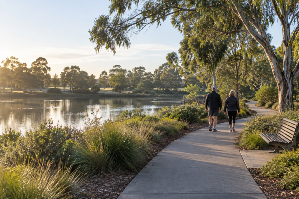
Standfirst: Maroondah’s published walking network includes short accessible circuits, easy signed routes and heritage walks. The useful choice is the kind of day you have, not the longest distance you can find.
The short answer
Choose the route by distance, published difficulty and what you want from the outing. The times below are not promises because pace, stops and access needs vary.
Council currently lists four accessible walks from about 1.01 to 2.06 kilometres, along with signed routes and heritage walks across Maroondah.
A short accessible circuit
Council’s published accessible walks include McAlpin Reserve at 1.01 kilometres, Croydon Park at 1.07 kilometres, Ringwood Lake Park at 1.17 kilometres and Town Park with Tarralla Creek at 2.06 kilometres.
Choose by suburb and distance, then open the current route information before leaving. Published accessibility information does not guarantee that every person’s needs will be met.
Use this plan
- Pick one of the four current accessible-walk listings.
- Check the route page and current conditions.
- Allow extra time for stops rather than setting a speed target.
An easy signed neighbourhood route
For a longer neighbourhood loop without choosing a major trail, Council lists Bungalook in Kilsyth South at 3.72 kilometres, Glen Park in Bayswater at 1.9 kilometres and Canterbury Gardens in Bayswater North at 4.4 kilometres as easy routes.
Distance and the published difficulty are starting points. Weather, crossings and current path conditions still need checking.
Use this plan
- Choose the suburb first.
- Use the published distance to match the time available.
- Check weather and current conditions before leaving.
A walk with a local-history purpose
Council publishes heritage walks in Croydon, Heathmont, Ringwood and Ringwood East. The routes use streets, paths and local landmarks to add a subject to the walk.
Choose one town centre or suburb rather than trying to combine several. Open the current heritage route before setting out so the landmarks and distance are clear.
Use this plan
- Choose one suburb or town centre.
- Open the current heritage route.
- Allow time to stop at the marked places.
The minimum-decision reset
When energy or time is limited, use a short out-and-back section of a familiar public path rather than committing to a full circuit. Decide the turnaround time before leaving.
Check weather, lighting, path conditions and personal needs. This is a planning method, not health or accessibility advice.
Use this plan
- Choose a familiar public path.
- Set a turnaround time.
- Finish early if conditions are not right.
How this guide is kept current
This page uses maintained MX guides and primary Maroondah Council information. Stable planning advice stays on this page; changing events, prices, hours, access conditions and availability remain with their current source.
Information checked: 25 September 2026. The next scheduled review is 15 December 2026, or earlier when a mapped source changes.
Details can change. Please check current information with the venue, organiser or land manager before visiting.
Keep discovering Maroondah. Get useful local guides and the weekly planner in your inbox. Subscribe to The Maroondah Exchange.
Spotted something that needs updating? Tell The MX.